news
Sheba Intelligence
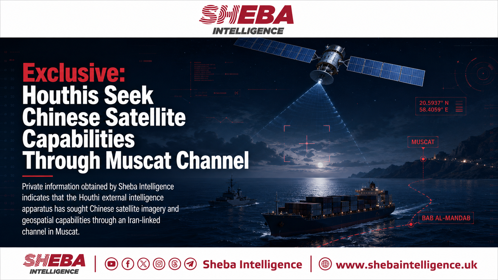
Exclusive: Houthis Seek Chinese Satellite Capabilities Through Muscat Channel | Sheba Intelligence
Sheba Intelligence reports that Yemen’s Houthi group, through an external intelligence unit and a station in Muscat, allegedly sought Chinese satellite imagery, coordinates, and geospatial capabilities to support military and maritime operations. The discussions were said to move through a channel linked to the Iranian Embassy in Muscat and a private security intermediary, with Chang Guang Satellite Technology Co. Ltd. (CGSTL), a Chinese commercial satellite firm, mentioned in connection with the arrangement.
According to the report, the Houthis were not merely trying to buy images, but to gain a broader technical capability for operational planning. Such data could improve maritime surveillance, help track naval and commercial ships, protect smuggling routes, and assist targeting in the Red Sea and Bab al-Mandab. However, Sheba Intelligence says it could not independently verify whether CGSTL directly supplied anything, whether a reseller was involved, or whether the company knew how the data would be used.
CGSTL, which operates the Jilin-1 satellite constellation, provides civilian remote-sensing services but is considered dual-use because the same capabilities can support military and intelligence activity. The company has previously faced U.S. accusations of aiding Houthi attacks, which it has denied.
The report says the alleged Muscat channel, if confirmed, would show the Houthis expanding beyond weapons and smuggling networks into external information infrastructure. It also warns that commercial satellite services can be exploited by armed groups through brokers and intermediaries. There is no evidence that Omani authorities were involved.
Article timeline
Build this article’s timeline
Extract dated events, key actors, and open questions using the same timeline analysis available in Signal.
Log in to build
Timeline generation is available to signed-in community members.
Primary-source excerpts
Login to contribute excerpts from the source.
Five Ws
🤖 5 AI prefills · all filled
Who
Sheba Intelligence, Houthis, and Houthi external intelligence sector
What
Sheba Intelligence reports that Yemen’s Houthi group, through an external intelligence unit and a station in Muscat, allegedly sought Chinese satellite imagery, coordinates, and geospatial capabilities to support military and maritime oper…
When
2026-06-19
Where
Muscat, China, and Oman
Why
Centers on Chinese satellite imagery, geospatial capabilities, and Houthi external intelligence sector
Login to answer and earn XP for each gap you fill.
Satellite Intelligence Sourcing satellite imagery, geospatial data, remote sensing, Chang Guang, Jilin-1 Houthi Military Operations Houthis, military planning, maritime surveillance, targeting, Red Sea Muscat Intermediary Channel Muscat, Oman, intermediary, Iranian Embassy, security company Regional Security Implications Red Sea security, armed groups, commercial services, brokers, resellers
Key Phrases:
Chinese satellite imagery98% geospatial capabilities96% Houthi external intelligence sector95% Muscat channel94% Red Sea93% Bab al-Mandab92% Chang Guang Satellite Technology Co. Ltd.91% Jilin-1 satellite constellation88% dual-use87% maritime surveillance86%
34
Manipulation Score: Medium
How much this article uses emotional framing vs. straight reporting
Loaded Language
2825%
Absolutist
1815%
Threat/Panic
5225%
Us vs Them
2415%
Engagement Bait
4020%
Manipulation score look right?
Factual Claims (10)
high
geopolitical
Houthis sought Chinese satellite imagery, coordinates, and geospatial capabilities through a Muscat channel.
high
geopolitical
The discussions were linked to the Iranian Embassy in Muscat and involved an intermediary security company.
high
technology
The Chinese company Chang Guang Satellite Technology Co. Ltd. was mentioned in connection with the arrangement.
medium
military
The Houthis were seeking a technical capability, not just isolated satellite images.
medium
military
Such satellite-derived data could support maritime surveillance, vessel tracking, smuggling-route protection, and targeting in the Red Sea and Bab al-Mandab.
low
other
Sheba Intelligence could not independently verify whether CGSTL directly supplied data or technology to the Houthis.
low
other
The identity and precise role of the intermediary security company remain under investigation.
medium
technology
CGSTL operates the Jilin-1 satellite constellation and provides remote-sensing and geospatial services.
high
geopolitical
Washington has accused CGSTL of supporting Houthi attacks on U.S. interests in the Red Sea.
medium
legal
There is no evidence that Omani authorities were involved in or aware of the alleged arrangement.
Comments
Login to view and post comments.