news
UK Defence Journal
The air bridge sustaining US operations in the Middle East
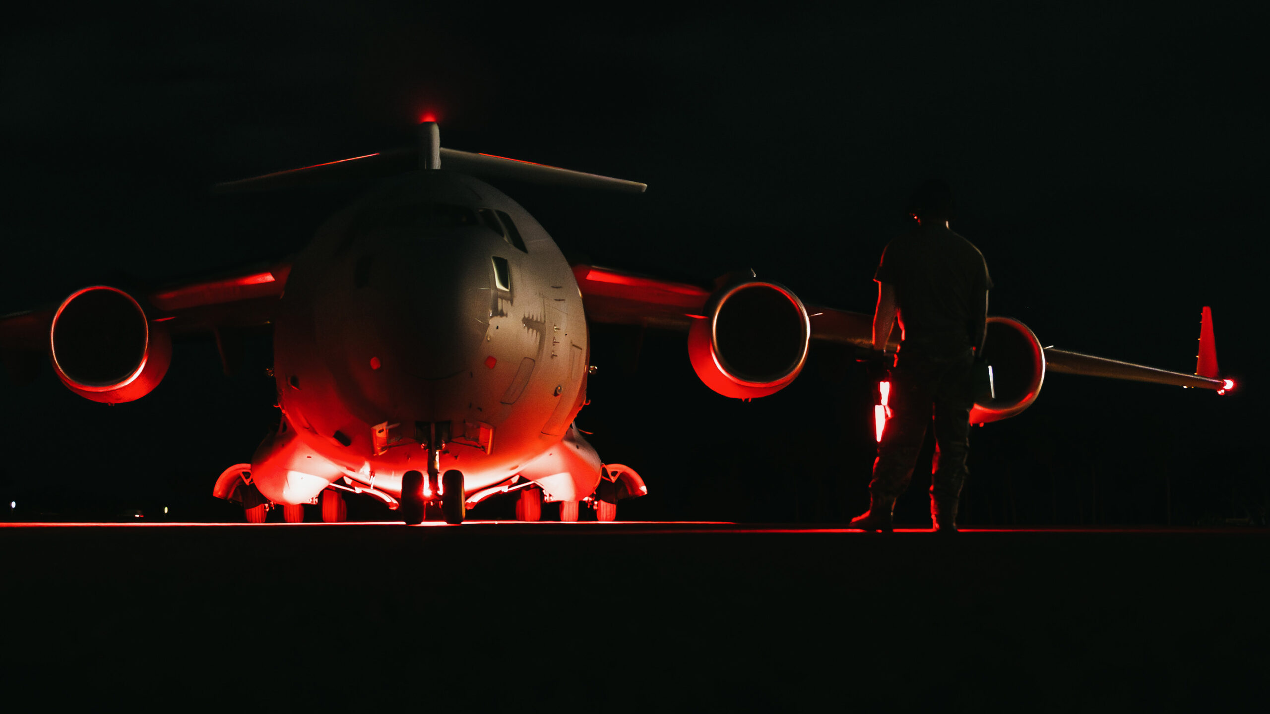
A UK Defence Journal article describes an open-source map, titled “Operation EPIC FURY,” that appears to show the main airlift routes supporting U.S. military operations in the Middle East. Built from publicly available flight-tracking data from platforms such as Flightradar24 and ADS-B Exchange, the map focuses on C-17A Globemaster III and C-5M Super Galaxy aircraft moving between North America, Europe, and the CENTCOM theatre. It was compiled over several months with help from the wider OSINT community.
The map suggests a layered logistics network. Aircraft typically depart the eastern United States, stage through the UK and mainland Europe, and then continue into the Gulf. Another route appears to run through southern Europe and North Africa, while an inset shows movements around the Arabian Sea into key Gulf hubs. The article notes that the C-17A is suited to austere airfields and direct delivery to forward locations, while the larger C-5M carries oversized and bulk cargo over long distances.
The piece emphasizes that, although military aircraft can limit or switch off their transponders, repeated observations over time still reveal patterns of movement, cadence, and structure. It argues that modern OSINT has made it possible for journalists and researchers to reconstruct significant parts of military logistics once visible only through classified systems or advanced surveillance. The broader point is that publicly broadcast aviation data has greatly expanded outside observers’ ability to monitor military activity.
Article timeline
Build this article’s timeline
Extract dated events, key actors, and open questions using the same timeline analysis available in Signal.
Log in to build
Timeline generation is available to signed-in community members.
Primary-source excerpts
Login to contribute excerpts from the source.
Five Ws
🤖 4 AI prefills · 1 still unanswered
Who
DefenceGeek, U.S. Air Force, CENTCOM, and UK Defence Journal
What
A UK Defence Journal article describes an open-source map, titled “Operation EPIC FURY,” that appears to show the main airlift routes supporting U.S.
When
When did this happen, or what is the timeframe?
Where
Middle East, North America, and Europe
Why
Centers on Operation EPIC FURY, air bridge, and U.S. Air Force heavy airlift aircraft
Login to answer and earn XP for each gap you fill.
US Airlift Routes C-17A, C-5M, airlift, CENTCOM, routes Military Logistics Network cargo, operations, supply chain, forward locations, bulk transport OSINT Flight Tracking OSINT, ADS-B, Flightradar24, ADS-B Exchange, flight tracking Visibility and Limits pattern-of-life, limitations, military aircraft, visibility, aggregation
Key Phrases:
Operation EPIC FURY98% air bridge95% U.S. Air Force heavy airlift aircraft94% CENTCOM theatre93% C-17A Globemaster III92% C-5M Super Galaxy91% OSINT community89% ADS-B Exchange88% Flightradar2486% pattern-of-life85%
People: DefenceGeek
Organizations: U.S. Air Force CENTCOM3 UK Defence Journal4 Flightradar242 ADS-B Exchange2 OSINT community NATO2 Independent Press Standards Organisation IPSO2
14
Manipulation Score: Low
How much this article uses emotional framing vs. straight reporting
Loaded Language
825%
Absolutist
1215%
Threat/Panic
625%
Us vs Them
415%
Engagement Bait
2020%
Manipulation score look right?
Factual Claims (10)
medium
military
An open-source map traces main routes used by U.S. Air Force heavy airlift aircraft between North America, Europe, and CENTCOM.
low
technology
The map was built from publicly available flight-tracking data rather than classified sources.
medium
other
The graphic titled 'Operation EPIC FURY' was put together by a senior editor at the UK Defence Journal.
low
technology
The analysis uses flight tracking data from Flightradar24 and ADS-B Exchange.
low
military
The map covers C-17A Globemaster III and C-5M Super Galaxy movements.
medium
military
Aircraft depart the eastern United States and move through staging points in the UK and mainland Europe before continuing into the Gulf.
medium
geopolitical
A second route runs via southern Europe and North Africa, and a third inset covers movements around the Arabian Sea into key Gulf hubs.
low
military
The C-17A can operate from austere airfields and deliver cargo directly to forward locations.
low
military
The C-5M handles oversized and bulk cargo over intercontinental distances.
medium
technology
ADS-B was designed for air traffic control and uses unencrypted signals that anyone with basic equipment can receive.
Comments
Login to view and post comments.